

 ©
Lisa Seiler
©
Lisa Seiler
Medellín, Colombia
Inform@Risk
Strengthening the resilience of informal settlements against landslide hazards by linking early warning systems, web technologies and landscape planning in participatory processes - a case study
2019-2022
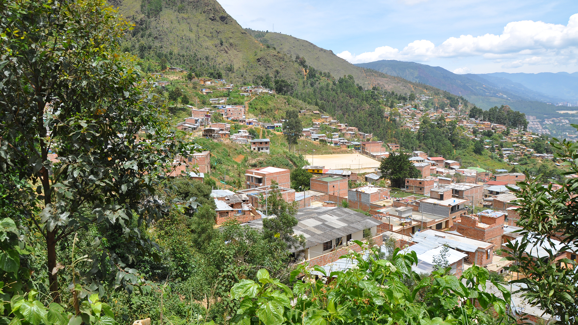
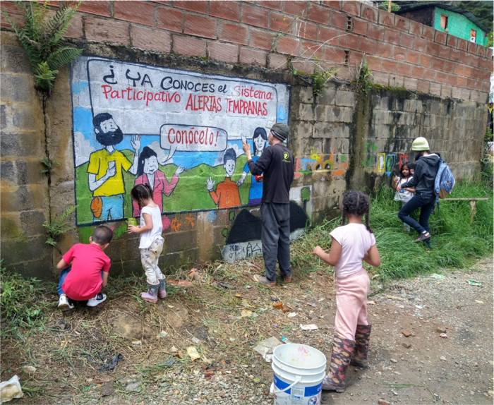
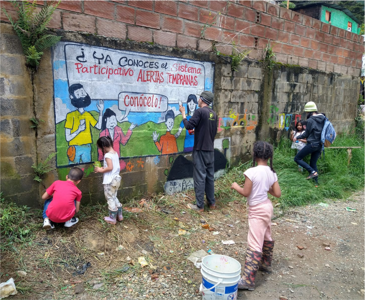
The Inform@Risk project developed innovative strategies to strengthen the resilience of informal settlements against landslide hazards in the Andes region, where the number of vulnerable people is continuously increasing due to uncontrolled urbanization and climate change impacts. Resettlement overwhelms communities and administrations with limited financial resources. Early warning systems offer an effective alternative, but their application in developing countries is limited due to limited accuracy and high costs. Inform@Risk pursued the development of a cost-effective and site-specific early warning and evacuation system specifically adapted to the complex spatial and social conditions of informal settlements.
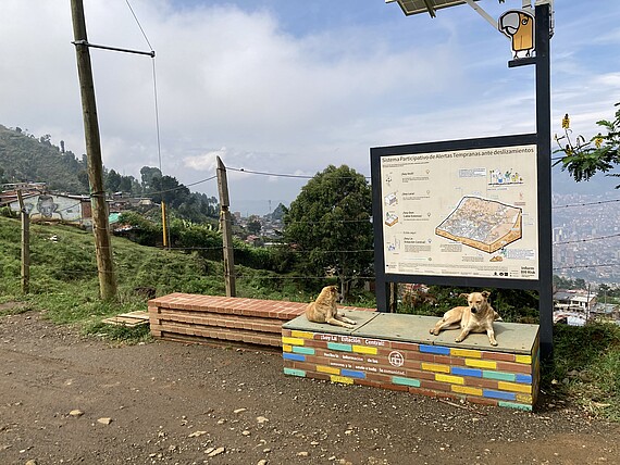
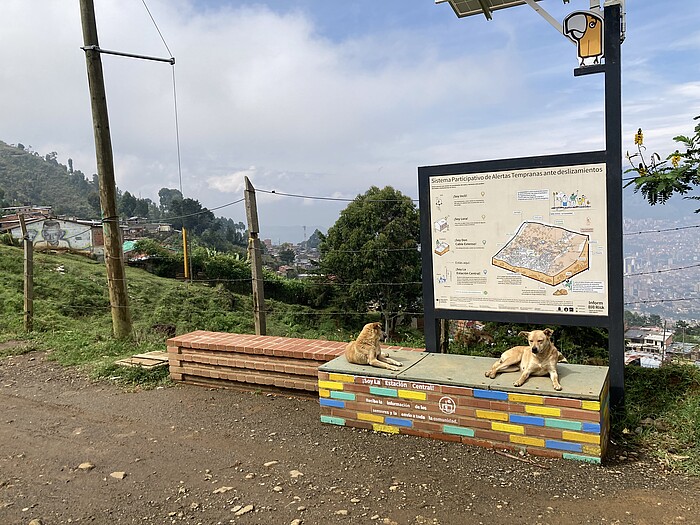
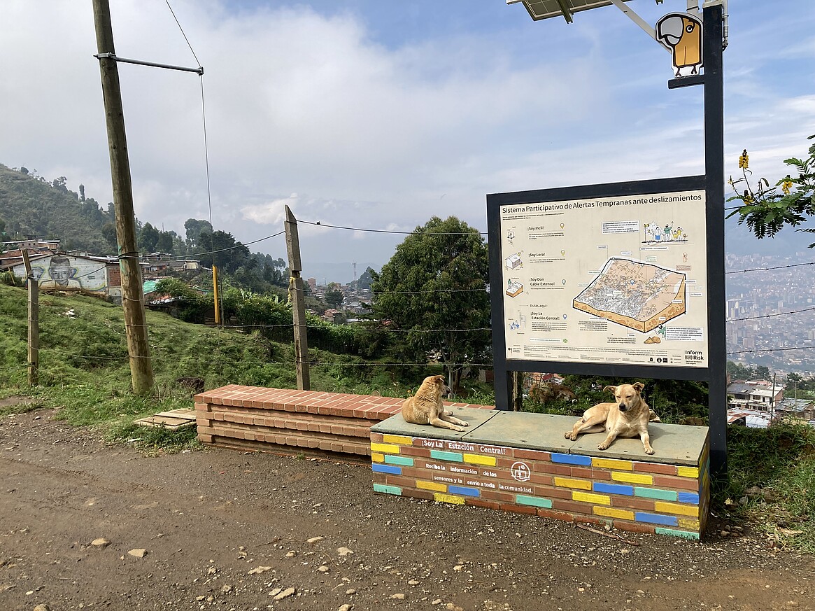
The German team, which included expertise in geotechnics, geomantics and landscape architecture, worked with a Colombian team of disaster management experts (DAGRD), urban planners (urbam, EAFIT), social workers, citizens' groups and affected residents of the city of Medellín for four years to develop the first prototype for a landslide early warning system. The pilot project was conducted in a landslide-prone, informally populated area on the outskirts of Medellín, Colombia. It ended in 2022 and was taken over by the Municipal Disaster Risk Reduction Authority (DAGRD). It is now in an advanced testing and development phase, in which the authorities are investigating how the pilot project can be incorporated into the risk management processes and capacities of the city of Medellín and developed from a prototype into a fully operational early warning system. This will reveal whether or not it is appropriate to transfer the system to other landslide-prone zones in Medellín.
For more information, please visit our Instagram account @informatrisk or the BMBF page.
Project coordination: Prof. Christian Werthmann, Dr. Carolina Garcia Londoño, Dr.-Ing. Heike Schäfer, MSc. Lisa Seiler, Institute of Landscape Architecture, Leibniz University of Hannover
German partners: Prof. Dr.Kurosch Thuro, Chair of Engineering Geology/ Technical University Munich, Prof. Dr. Wolfgang Dorner, Technology Campus Freyung/ Technical University Deggendorf, Prof. Dr. Hannes Taubenböck, German Remote Sensing Data Center/ DLR, Dr. John Singer, AlpGeorisk/ Unterschleißheim, Dr. Klaus Martin, SLU/ Munich
Colombian partners: Prof. Alejandro Echeverri, MSc. Isabel Basombrio, EAFIT/ Urbam, City of Medellín, Dr. Laura Duarte, DAGRD, Sociedad Colombiano Geologico, Comvivamos, Fundación Paloma, residents of Bello Oriente
Funded by BMBF, from 2019 to 2022, funding code 03G0883A-F.
 ©
Team Inform@Risk
©
Team Inform@Risk
 ©
Team Inform@Risk
©
Team Inform@Risk